
Distances and times are practical planning estimates. Heat, sun and trail condition quickly change the difficulty on the island: start early, bring water, wear closed shoes and avoid isolated trails after heavy rain.
Choose Your Outing Quickly
Best panorama
Pic Paradis
The island high point, best early morning.
Wildest option
Froussards Trail
Northeast coast, dry forest, Petites Cayes and sea views.
Easiest view
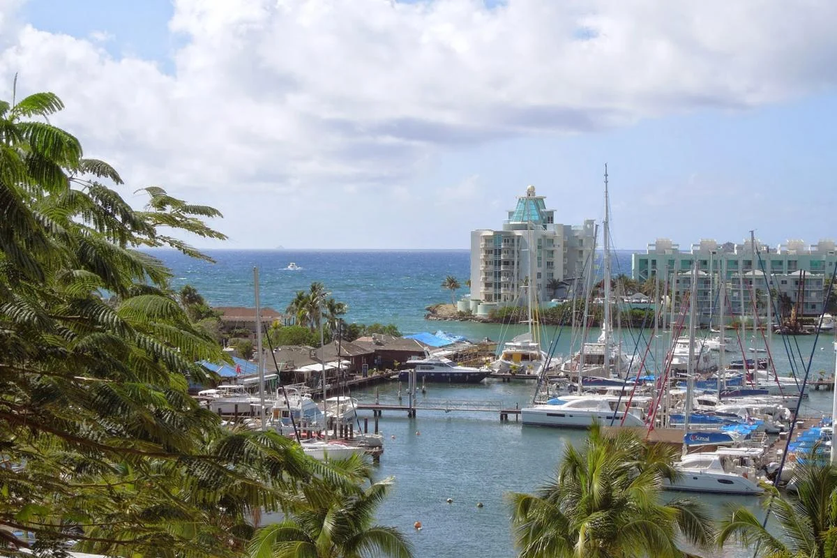
Fort Louis
91 steps from Marigot for an immediate panorama.
With kids
Pinel or mangrove
Short, readable and scenic observation stops.
Best Hiking Routes
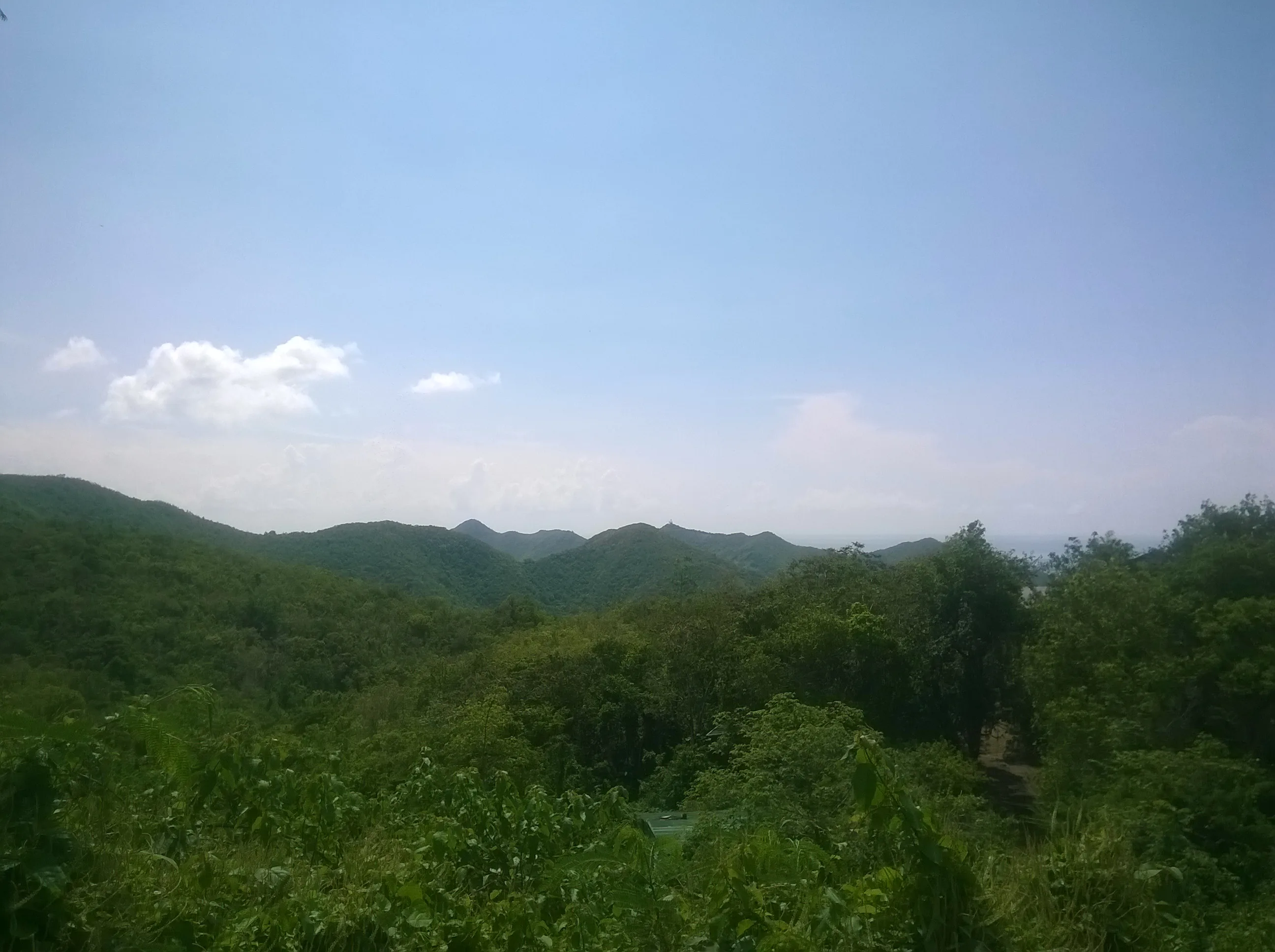
Pic Paradis via Loterie Farm
Pic Paradis rises to 424 meters and remains Saint Martin’s signature panoramic hike. The climb from Loterie Farm crosses cooler vegetation than the coast, with steep and sometimes slippery sections. The reward is clear: few places explain the island’s geography as well.
Access : Recommended start from Loterie Farm. Paid access may apply for private trails; upper-road access allows a shorter version.
Highlights : Views over Grand Case, Orient Bay, Anguilla, lagoons, central hills and both sides of the island.
Start before 8:30am. Bring closed shoes, at least 1.5 liters of water per person and mosquito repellent for wooded sections.

Froussards Trail, Anse Marcel - Petites Cayes
This is the most rewarding coastal hike for travelers wanting to leave the classic beach zones. It crosses one of the best preserved natural areas on the French side and reaches Petites Cayes, a remote beach with no services.
Access : Park near Anse Marcel or Grandes Cayes depending on route. Exposed, lightly developed trail.
Highlights : Coastal dry forest, low cliffs, views toward Tintamarre, wild Petites Cayes beach and a protected atmosphere.
Avoid the hottest hours. The terrain is rocky and shade is inconsistent. After rain, some parts become more technical.
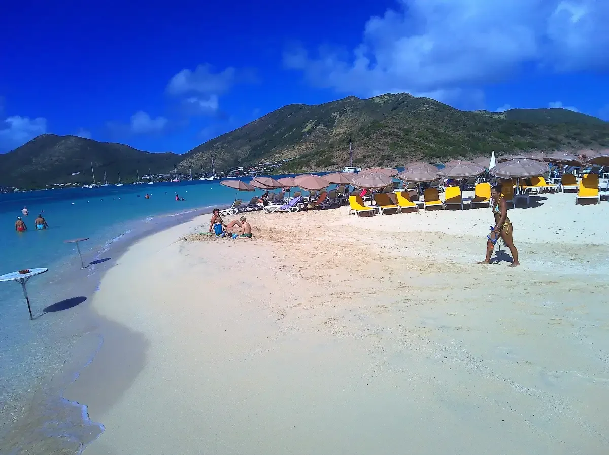
Pinel Island Trail
Pinel is often treated as a beach excursion, but its short trail gives a better sense of the protected site. Leaving the restaurants and main beach, you quickly reach open viewpoints over shallow waters and nearby islets.
Access : Boat shuttle from Cul-de-Sac, then walk on the islet.
Highlights : Orientation tables, views over Cul-de-Sac, Petite Clef, Tintamarre, sheltered beaches and protected reserve areas.
Stay on the trail and avoid trampling fragile vegetation. Bring water, as the route is exposed.
Friar’s Bay - Happy Bay
This is the easiest walk for a hidden beach feeling. The path from Friar’s Bay is short but changes the mood completely: Happy Bay remains wilder, without regular beach facilities.
Access : From Friar’s Bay, follow the coastal trail north. No services at Happy Bay.
Highlights : Short coastal walk, dry vegetation and one of the island’s calmest wild-feeling beaches.
Do not return too late. Bring water, sun protection and take all waste back with you.

Étang de la Barrière Mangrove
This is not a sporting hike, but it is one of the island’s best educational nature stops. The boardwalk lets visitors cross the mangrove without damaging it.
Access : Short developed path, practical before or after Pinel.
Highlights : Mangrove, birds, fish nursery habitat and the Nature Reserve ecosystem.
Ideal with children or for a short nature break. Use mosquito repellent late in the day.
Best Easy Viewpoints
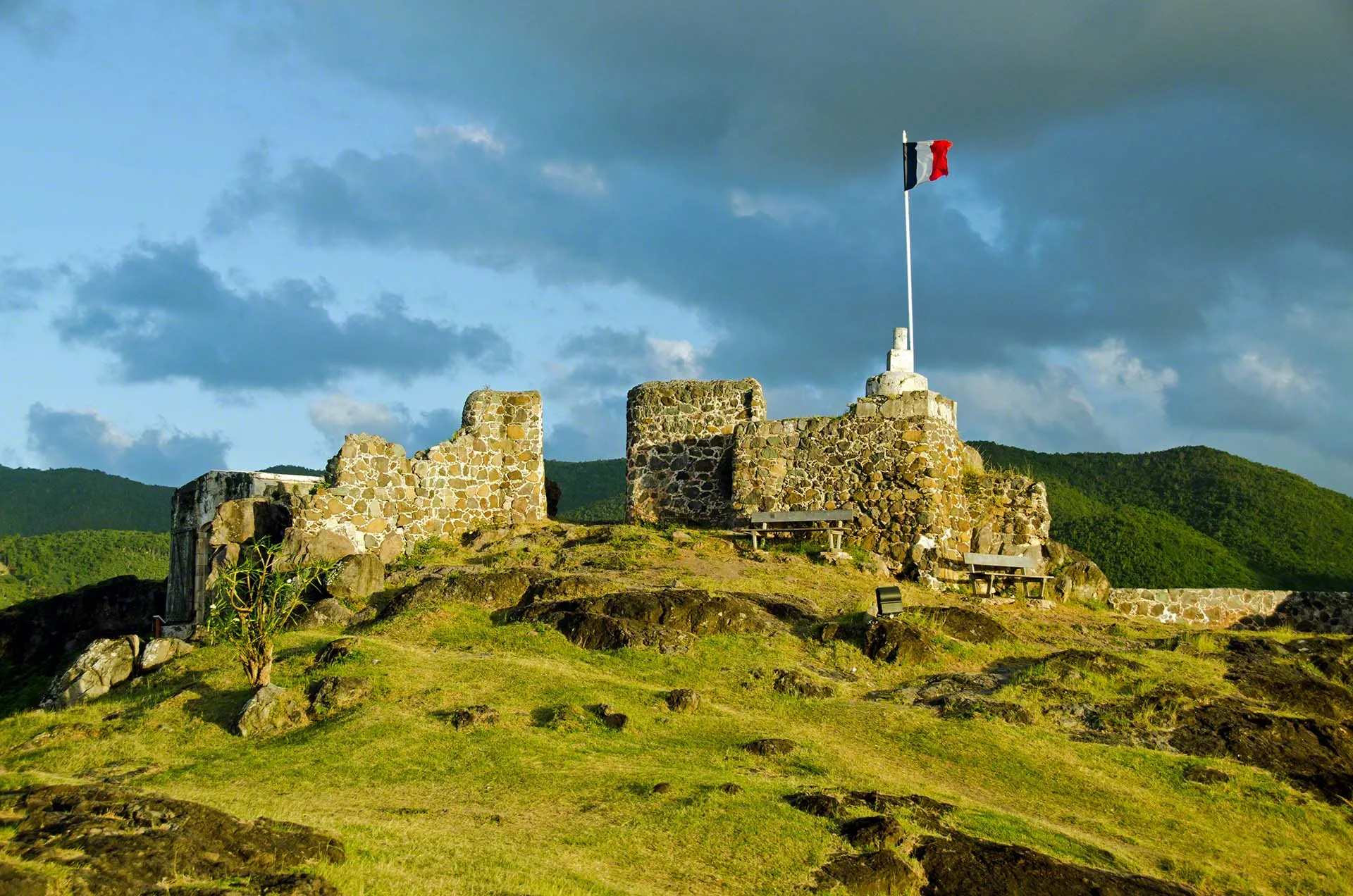
Fort Louis, Marigot
The best effort-to-view ratio on the French side. After the steps from Marigot, the bay, Anguilla, Sandy Ground and hills open up quickly.
Level : Easy, with stairs
Duration : 20 to 45 minutes
Location : Marigot - GPS: 18.0682, -63.0858
Bell Point and Oyster Pond
A useful stop to understand the windier, more rugged east coast. Views reach Oyster Pond, St. Barts in clear weather and the border hills.
Level : Easy by car
Duration : 10 to 20 minutes on site
Location : Oyster Pond / French-Dutch border - Approx. GPS: 18.0550, -63.0160

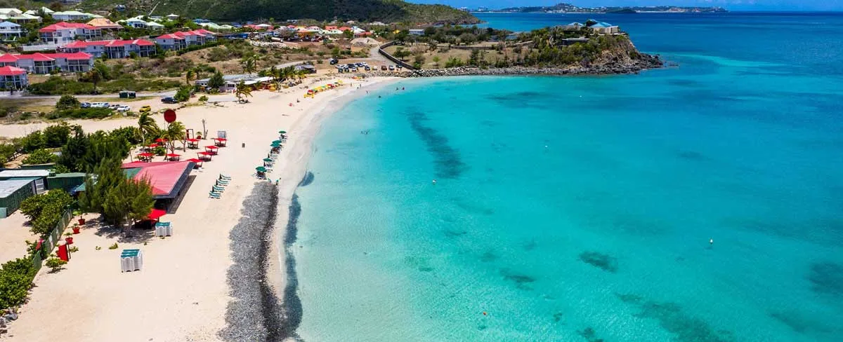
Baie Rouge and Terres Basses
More of a scenic walk than a hike, Baie Rouge offers beautiful views toward Anguilla and the low cliffs of Terres Basses.
Level : Easy
Duration : 15 to 30 minutes
Location : Terres Basses - GPS: 18.0750, -63.1390
Field Tips
- Best time: between 6:30am and 9:30am. Heat makes distances deceptive.
- Gear: closed shoes, water, hat, sunscreen, charged phone and offline map.
- Safety: avoid isolated trails alone, tell someone your route and leave nothing visible in the car.
- Nature: stay on existing tracks, do not feed animals and take all waste back.
Which Route Should You Pick?
For a first visit, combine Pic Paradis in the morning, Fort Louis late afternoon and a coastal walk to Happy Bay or Petites Cayes depending on your level. Motivated hikers should choose the Froussards trail; families will prefer Pinel, Cul-de-Sac mangrove and short viewpoints.